The South African Weather Service (Saws) has warned of thunderstorms accompanied by strong winds in parts of the Free State, North West and the Northern Cape. Otherwise, thundershowers are expected across the country on Friday, 24 April.
Here is what weather to expect.
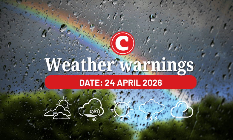
Weather warnings for 24 April 2026
Impact-based warnings
The weather service has issued a yellow level 2 warning for for severe thunderstorms with strong damaging winds and heavy downpours in the Free State, the central and western parts of North West, and the central and southern parts of the Northern Cape.
This could lead to localised flooding and damages to susceptible formal and informal settlements and infrastructure.
Advisories
Expect very cold, wet and windy conditions over the southern parts of the Namakwa District of the Northern Cape, City of Cape Town, Central Karoo, Cape Winelands and the western parts of the Overberg Districts in the Western Cape from Sunday into Monday.
Provincial weather forecast
Here’s what to expect in your province on 24 April:
Gauteng:
Residents can expect a cloudy and cool day with isolated showers and thundershowers.
Mpumalanga:
Expect morning fog patches along the escarpment; otherwise, it will be cloudy and cold to cool with isolated showers and thundershowers.
Limpopo:
There will be morning fog patches along the escarpment; otherwise, the day will be cloudy and cool with isolated showers and thundershowers.
North West:
Cloudy, windy and cool to cold weather awaits, with scattered showers and thundershowers, but isolated in the east.
Free State:
Expect a cloudy and cool to cold day, with scattered showers and thundershowers.
Northern Cape:
It will be fine and warm, but hot in Kamiesberg Municipality. Otherwise, it will be partly cloudy and warm in the east with isolated showers and thundershowers, but scattered in the east and central parts. Foggy conditions are expected along the coast from the evening.
Western Cape:
The weather will be fine in the west, where it will be hot along the West Coast Municipality. Otherwise, it will be partly cloudy and warm with isolated showers and thundershowers from the late afternoon in the east.
The region’s expected UVB sunburn index is “very high”.
Residents should take the necessary precautions against prolonged sun exposure.
Eastern Cape (western half):
It will be partly cloudy and cool, but warm along the coast and adjacent interior with isolated thundershowers over the interior.
Eastern Cape (eastern half):
Expect partly cloudy and cool to warm conditions with isolated thundershowers, but cloudy and cold with scattered thundershowers north of the escarpment.
KwaZulu-Natal:
There will be morning fog patches over the western interior, otherwise a cloudy and cold to cool day awaits with isolated showers and rain.