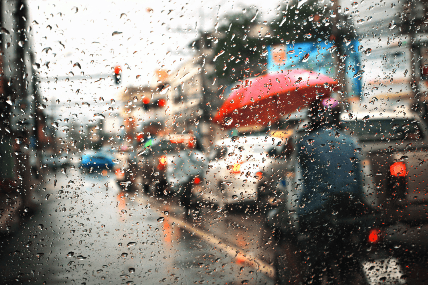
The South African Weather Service (Saws) has issued several alerts for Thursday, warning of disruptive rainfall, severe thunderstorms and high fire danger in some parts of the country.
Here’s what you need to know.
Weather warnings
In KwaZulu-Natal’s (KZN) extreme northeast, a yellow level 2 warning has been issued for disruptive rainfall with heavy downpours, which could lead to localised flooding of roads and settlements, as well as damage to infrastructure.
Severe thunderstorms are expected over the Mpumalanga highveld, Gauteng, and northeastern North West, also under a yellow level 2 warning.
ALSO READ: Level 2 weather warning: Severe thunderstorms and heavy rain expected in parts of Gauteng
These storms may bring damaging winds, hail, and heavy downpours, resulting in localised flooding and potential damage to property, roads, and settlements.
Extremely high fire danger conditions are expected in the Richtersveld district of the Northern Cape, according to Saws.
Provincial weather forecast
Here’s what to expect in your province on 25 September:
Gauteng:
Gauteng will be cloudy and cool, but warm in the extreme north, with scattered showers and thundershowers. The UVB sunburn index is expected to be low.
Mpumalanga:
Mpumalanga will be cloudy and cool to cold, with scattered showers and thundershowers.
Limpopo:
Limpopo will be cloudy and cool to warm, with isolated showers and thundershowers, scattered in the extreme southeast.
North-West:
North West will be partly cloudy and warm, with isolated showers and thundershowers, scattered in the extreme southeast.
Free State:
In the Free State, conditions will be fine in the south and partly cloudy elsewhere, cool to warm but cold in the east, with isolated showers.
Northern Cape:
The Northern Cape will be partly cloudy in the northeast and otherwise fine and cool to warm but cold in the south.
Coastal winds are expected to be fresh to strong from the south to southeast, with morning fog over the western interior.
Western Cape:
The Western Cape will experience morning fog patches over the Little Karoo, otherwise fine and cool, but warm along the west coast.
Coastal winds will be light north-westerly along the south coast in the morning and evening, otherwise moderate to fresh south to south-easterly, and strong along the west coast from the afternoon.
The UVB sunburn index will be high.
Eastern Cape (western half):
In the Western half of the Eastern Cape, fog patches will clear from the interior by late morning, giving way to partly cloudy and cool conditions, with light and variable coastal winds
Eastern Cape (eastern half):
The eastern half will be cloudy with isolated showers or rain in the east early, becoming partly cloudy and cool later in the day, with light and variable coastal winds.
KZN
KZN will be cloudy and cold to cool, with isolated showers and thundershowers, scattered in the extreme north in the morning.
Coastal winds will be moderate to fresh from the south to southwest, becoming light south-easterly to easterly by the afternoon. The UVB sunburn index is expected to be low.
NOW READ: Weather alert: Fire danger, partly cloudy skies and thundershowers