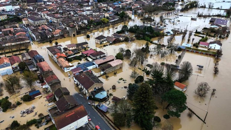
The South African Weather Service (Saws) has warned of severe thunderstorms, extreme heat and fire danger, prompting warnings as forecasters flag flooding risks, damaging winds and uncomfortable conditions on Tuesday.
The weather service has released its latest weather forecast for 17 February 2026.
Here’s what you need to know.
Weather warnings: Tuesday, 17 February 2026
Impact-based warnings
The weather service has issued a yellow level 1 warning for severe thunderstorms associated with strong, damaging winds, hail, excessive lightning, and heavy downpours leading to flooding of susceptible roads and settlements, as well as low-lying bridges/areas, expected over Kai Igarib, Ikheis, Siyathemba, Kareeberg, and Ubuntu Local Municipalities.
Advisories
Hot and humid weather will result in extremely uncomfortable conditions in parts of the Sarah Baartman DM, Nelson Mandela Bay Metro, Buffalo City Metro, and Amathole DM.
ALSO READ: When will it warm up? Cold spell hits Gauteng
Provincial weather forecast
Here’s what to expect in your province on Tuesday, 17 February 2026:
Gauteng:
Residents of Gauteng can expect partly cloudy and cool to warm weather.
The region’s expected UVB sunburn index is “high”.
Residents should take the necessary precautions against prolonged sun exposure.
Mpumalanga:
Mpumalanga residents can expect partly cloudy conditions at first; otherwise, it will be fine and cool to warm.
Limpopo:
The day will be partly cloudy and warm.
North West:
Partly cloudy and warm weather awaits North West residents, with isolated showers and thundershowers in the western and southwestern parts.
Free State:
Residents of the Free State can expect partly cloudy, warm conditions, with isolated showers and thundershowers in the west and along the Lesotho border.
Northern Cape:
The day will be partly cloudy and warm to hot, with isolated showers and thundershowers, but scattered in the central parts.
Western Cape:
Western Cape residents can expect cloudy to partly cloudy weather along the west coast in the morning, with fog. It will be fine to partly cloudy and warm to hot with isolated showers and thundershowers over the northeastern parts.
The region’s expected UVB sunburn index is “extreme”.
Residents should take the necessary precautions against prolonged sun exposure.
Eastern Cape (western half):
The day will be fine and warm to hot, becoming cloudy with isolated showers and thundershowers in places excluding the coast.
Eastern Cape (eastern half):
The day will be cloudy with fog in places in the morning; otherwise, it will be fine and warm to hot, becoming cloudy with isolated showers and thundershowers over the western and northern interior, but scattered along the escarpment.
KwaZulu-Natal:
Residents of KwaZulu-Natal can expect morning fog over the interior; otherwise, it will be partly cloudy and cool to warm with isolated showers and rain over the extreme southwest and northeast.
The region’s expected UVB sunburn index is “extreme”.
Residents should take the necessary precautions against prolonged sun exposure.