The South African Weather Service (Saws) warns of widespread thunderstorms and local flooding risks forecast for parts of Gauteng, Mpumalanga and KwaZulu-Natal.
The weather service has released its latest weather forecast for 29 November 2025.
Here’s what you need to know.
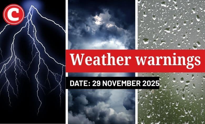
Weather warnings: Saturday, 29 November 2025
Impact-based warnings
The weather service has issued a yellow level 2 warning for severe thunderstorms with heavy downpours resulting in localised flooding of susceptible roads and low-level bridges. Strong winds and a possible large amount of hail in places are expected over Gauteng, Mpumalanga and the northeastern part of KwaZulu-Natal, including the southern half of Limpopo and the eastern half of North West.
ALSO READ: Cape Town heads into a weekend of shifting skies, says weather service
Provincial weather forecast
Here’s what to expect in your province on Saturday, 29 November:
Gauteng:
Residents of Gauteng can expect cloudy weather in the morning with fog patches; otherwise, it will be partly cloudy and cool to warm with scattered showers and thundershowers.
The region’s expected UVB sunburn index is “high”.
Residents should take the necessary precautions against prolonged sun exposure.
Mpumalanga:
Mpumalanga residents can expect morning fog patches over the Highveld; otherwise, conditions will be partly cloudy and cool to warm with scattered showers and thundershowers, but widespread over the Escarpment and Lowveld.
Limpopo:
It will start with morning fog patches over the western part; otherwise, it will be cloudy and cool to warm with scattered showers and thundershowers, but widespread over the Escarpment and Lowveld.
North West:
Partly cloudy and cool to warm weather awaits the North West with scattered showers and thundershowers, but it will be cloudy in the east, where it will be widespread.
Free State:
Residents of the Free State can look forward to morning fog patches over the northeast; otherwise, it will be partly cloudy and cool to warm, with isolated showers and thundershowers except over the western parts.
Northern Cape:
The day will start with morning fog patches over the western part; otherwise, it will be fine and warm to hot, becoming partly cloudy in the afternoon. It will become cloudy with light rain along the coast and adjacent interior in the evening.
Western Cape:
Western Cape residents can expect morning fog patches over the north-western part, where it will be hot; otherwise, it will be cloudy and cool to warm, becoming partly cloudy in the afternoon except in the south-west. Light rain is expected over the southern and western parts, clearing from the west by the afternoon.
The region’s expected UVB sunburn index is “very high”.
Residents should take the necessary precautions against prolonged sun exposure.
Eastern Cape (western half):
The day will be cool in places along the coast, otherwise cloudy and warm with isolated showers and thundershowers.
Eastern Cape (eastern half):
The day will start with morning fog patches over the northeast; otherwise, it will be cloudy and cool to warm with scattered showers and thundershowers.
KwaZulu-Natal:
Residents of KwaZulu-Natal can look forward to cloudy conditions at times; otherwise, it will be partly cloudy and cool to warm with isolated to scattered showers and thundershowers but widespread in the extreme northeast. Morning fog is expected over the central interior.