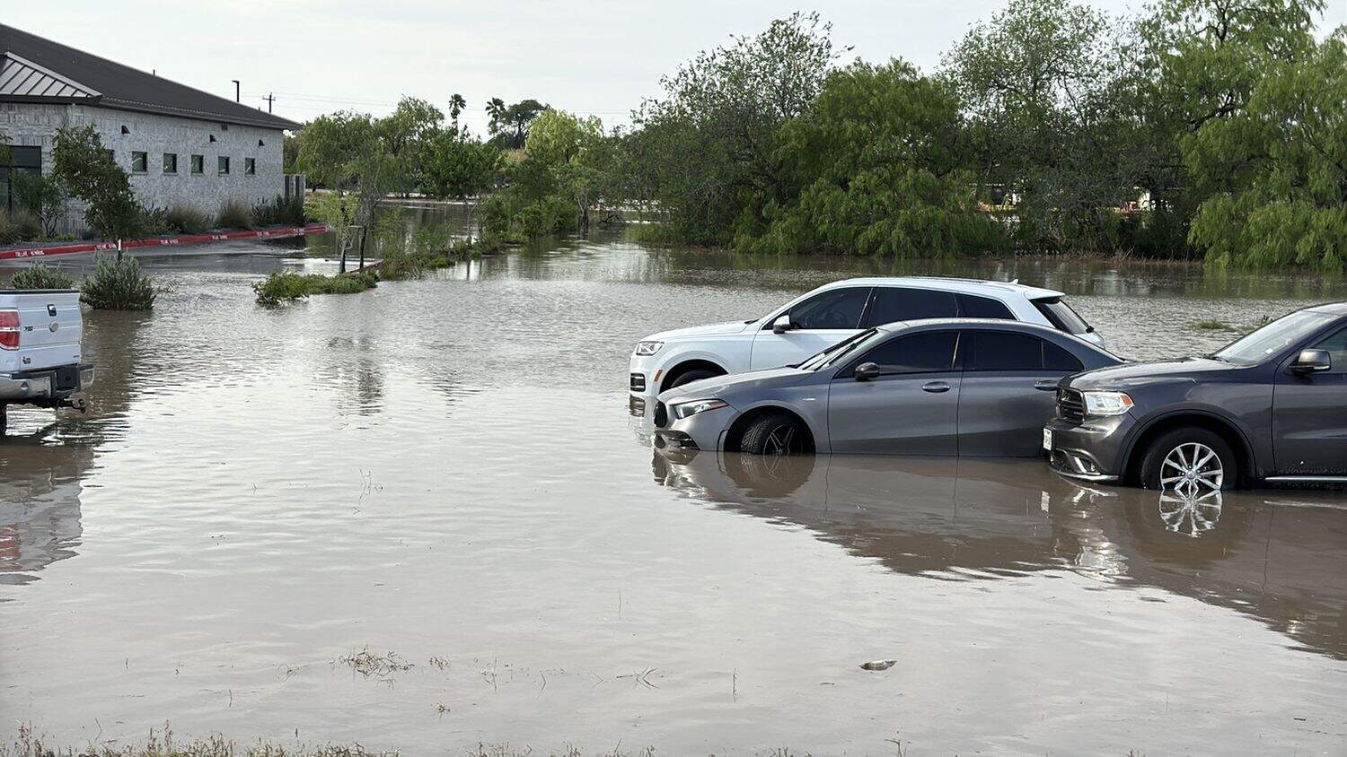
Flooded cars abandoned along Interstate 2 near La Feria, Texas, on March 28, 2025, when heavy thunderstorms with significant rainfall breached the Arroyo Colorado River overflowing onto the highway leaving motorists stranded.
The South African Weather Service (Saws) has issued a warning of flooding in several parts of South Africa due to thunderstorms and heavy downpours on Monday.
The weather service warned that these conditions are expected on Monday across the eastern parts of the Northern Cape, the northern parts of the Eastern Cape, and the extreme western parts of the Free State.
“Level 5 warning: severe thunderstorms with heavy downpours that will result in flooding of susceptible roads and low-lying bridges/areas, damaging winds, excessive lightning and large amounts of small hail that will result in damage to infrastructure and settlements are expected,” reads the forecast.
Moderate impact weather in these parts
The weather service has also issued a yellow level 2 warning, indicating a moderate impact and possible localised flooding or minor damage in several parts of the country.
“Severe thunderstorms with heavy downpours that will result in localised flooding and damage to infrastructure and settlements, damaging winds, excessive lightning and large amounts of small hail is expected,” reads the forecast.
These weather conditions can be expected over the central parts of Northern Cape, north-eastern parts of Western Cape, southern parts of Eastern Cape, western interior of Free State, extreme western parts of North West, southern escarpment of Mpumalanga as well as most of KwaZulu-Natal, except in the north-east.
ALSO READ: Floods: Here’s how the Kruger National Park wildlife is doing
Provincial weather forecast
Gauteng
Partly cloudy, and cool to warm with isolated afternoon showers and thundershowers.
Mpumalanga
Morning fog over the Highveld and along the escarpment, otherwise partly cloudy and cool to warm with isolated showers and thundershowers, except in the extreme northeast, but scattered in the south-east.
Limpopo
Morning fog along the escarpment, otherwise partly cloudy and warm with isolated showers and thundershowers over the south-central parts.
North West
Cloudy and warm with scattered showers and thundershowers, but isolated in the east, where it will be partly cloudy. It will be cool in the south-west.
Free State
Cloudy and cool to warm with scattered to widespread showers and thundershowers, but isolated in the north-east.
Northern Cape
Morning fog along the coast, otherwise partly cloudy and cool to warm with isolated to scattered showers and thundershowers except in the extreme north-west, but widespread in the east, where it will be cloudy.
The wind along the coast will be light to moderate north- westerly.
Western Cape
Morning fog patches along the west and south-west coasts, otherwise partly cloudy and warm with isolated to scattered showers and thundershowers, except in the Cape Peninsula.
The wind along the coast will be light to moderate north- westerly but moderate to fresh south-westerly along the south coast.
Western half of the Eastern Cape
Cloudy and cool with widespread showers and thundershowers, but scattered along the coast. It will be warm in the south.
The wind along the coast will be moderate easterly, but light to moderate south-westerly west of Cape St Francis.
Eastern half of the Eastern Cape
Cloudy and cool with widespread showers and thundershowers, but scattered along the coast. The wind along the coast will be fresh to strong north-easterly.
KwaZulu-Natal
Morning fog patches over the interior; otherwise, partly cloudy and cool to warm, with isolated to scattered showers and thundershowers, except in the extreme north-east, where it will be hot.
It will be cloudy in the south. The wind along the coast will be light to moderate northerly to north-easterly, reaching fresh in the afternoon.
NOW READ: SA’s floods turned deadly because Limpopo wasn’t prepared – how to prevent a repeat