Flooding is expected in Limpopo and Mpumalanga on Saturday, 14 March due to disruptive rain, while parts of the Eastern Cape continue to battle a heatwave that is expected to last until Monday.
Here is what weather to expect, according to the South African Weather Service (Saws).
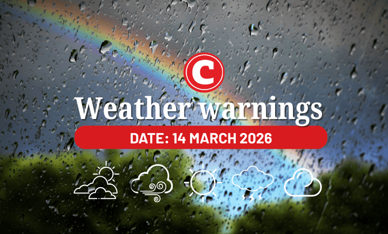
Weather warnings for 14 March 2026
Impact-based warnings
The weather service has issued a yellow level 4 warning for disruptive rain leading to localised flooding of susceptible roads, settlements, and low-lying areas or bridges in the Lowveld and escarpment of Limpopo and northeastern parts of Mpumalanga.
Fire danger warnings
Expect extremely high fire danger conditions in the Kamiesberg Municipality of the Northern Cape, in places over the West Coast District Municipality and the Drakenstein Municipality of the Western Cape.
Advisories
A heatwave with persistently high temperatures is expected across the Eastern Cape (except Joe Gqabi and Amathole Districts) until Monday.
ALSO READ: Sun-believable! Western Cape weather hits record high in 11 years
Provincial weather forecast
Here’s what to expect in your province on 14 March:
Gauteng:
Residents can expect a cloudy and warm day with scattered showers and thundershowers in the afternoon.
The region’s expected UVB sunburn index is “high”.
Residents should take the necessary precautions against prolonged sun exposure.
Mpumalanga:
Expect morning fog over the Highveld and escarpment; otherwise, it will be cloudy and cool to warm with isolated to scattered showers and thundershowers, but widespread in the northeast.
Limpopo:
There will be morning fog patches along the southern escarpment; otherwise, it will be cloudy and cool to warm with scattered showers and thundershowers, but widespread in the east.
North West:
Partly cloudy and warm weather awaits North West residents, with isolated showers and thundershowers, but scattered in the east.
Free State:
Residents can expect a partly cloudy and warm day with isolated showers and thundershowers.
Northern Cape:
There will be morning fog along the west coast where it will be warm; otherwise, it will be partly cloudy and hot to very hot with isolated showers and thundershowers over the eastern and central parts.
Western Cape:
Expect fine conditions in the extreme western parts, where it will be very hot. Otherwise, it will be partly cloudy and warm to hot with chances of light rain over the south coast in the afternoon. Isolated showers and thundershowers are expected over the Central Karoo from the afternoon.
The region’s expected UVB sunburn index is “extreme”.
Residents should take the necessary precautions against prolonged sun exposure.
Eastern Cape (western half):
There will be morning fog along the coast where it will be cloudy; otherwise, it will be partly cloudy and hot with isolated thundershowers, but warm with isolated showers and rain over the eastern and central parts.
Eastern Cape (eastern half):
Expect morning fog along the coast where it will be cloudy; otherwise it will be partly cloudy and warm to hot.
KwaZulu-Natal:
There will be morning and evening fog over the interior; otherwise, it will be partly cloudy and warm. It will become cloudy in the afternoon with isolated showers and thundershowers.
The region’s expected UVB sunburn index is “high”.
Residents should take the necessary precautions against prolonged sun exposure.