A powerful magnitude 6.5 earthquake rattled Indonesia’s eastern Papua province on Thursday, damaging several homes and buildings but leaving no casualties reported, authorities said.
The quake struck at 2:48 p.m. local time (0548 GMT), with its epicentre located about 200 kilometres (125 miles) from Jayapura at a depth of 35 kilometres, according to the United States Geological Survey (USGS).
The Pacific Tsunami Warning Center in Hawaii confirmed that the tremor posed no tsunami threat.
Residents of Sarmi Regency fled their homes in panic as the ground shook for nearly three seconds, said Abdul Muhari, spokesman for Indonesia’s National Disaster Mitigation Agency (BNPB).
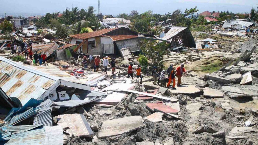
“As of 2:30 p.m. Western Indonesia Time, we have recorded 20 houses heavily damaged, 30 others with minor damage, and three churches with collapsed walls,” Muhari said in a statement.
He added that no deaths or injuries had been reported as of Thursday afternoon. A response team from Jakarta was being deployed to assist local authorities with rapid damage assessment and data collection.
An official with Indonesia’s Meteorology, Climatology and Geophysics Agency (BMKG), Daryono, noted that no aftershocks had been recorded so far.
Indonesia, an archipelagic nation of more than 17,000 islands, is one of the world’s most seismically active regions, lying along the Pacific “Ring of Fire” — a vast arc of tectonic fault lines stretching from Japan through Southeast Asia to the Pacific basin.
Papua, located on the western half of the island it shares with Papua New Guinea, frequently experiences moderate to strong earthquakes due to the constant movement of tectonic plates beneath the region.