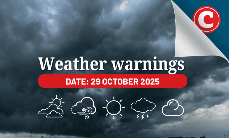
The South African Weather Service (Saws) has warned of damaging storms across Gauteng, North West, Free State and more, with fire danger and scorching heat in KwaZulu-Natal.
The weather service has released its latest weather forecast for 29 October 2025.
Here’s what you need to know.
Weather warnings: Wednesday, 29 October
Impact-based warnings
The weather service has issued a yellow level 2 warning for severe thunderstorms accompanied by heavy downpours, excessive lightning, damaging winds and large amounts of small hail which may result in localised flooding of susceptible roads, low-lying areas and bridges; localised damage to infrastructure, settlements and property; localised injuries due to flying debris; and minor vehicle accidents over Gauteng, most parts of North West and Free State, northern parts of Northern Cape, the Highveld of Mpumalanga, and the western and northern parts of KwaZulu-Natal.
Fire danger warnings
Extremely high fire danger conditions are expected over the Kamiesberg, Hantam, Dawid Kruiper, and Ubuntu municipalities of the Northern Cape and the Matzikama and Swartland municipalities of the Western Cape.
Advisories
Hot and humid weather will result in extremely uncomfortable conditions over the extreme northeastern parts of KwaZulu-Natal.
ALSO READ: Weather alert: Thunderstorms, hail and strong winds in parts of SA
Provincial weather forecast
Here’s what to expect in your province on Wednesday, 28 October:
Gauteng:
Residents of Gauteng can expect cloudy and cool weather, but warm in the north, with scattered afternoon showers and thundershowers.
Mpumalanga:
Mpumalanga residents can expect cloudy and warm conditions with isolated showers and thundershowers. It will be hot in the south with scattered showers and thundershowers.
Limpopo:
The day will be cloudy and warm with morning drizzle along the escarpment and isolated afternoon showers and thundershowers except in the central parts, becoming partly cloudy from the east in the evening.
North West:
Cloudy and cool to warm weather awaits North West residents with scattered showers and thundershowers.
Free State:
Residents of the Free State can look forward to cloudy and cool to warm conditions with scattered showers and thundershowers.
Northern Cape:
The day will be fine and cool in the west; otherwise, it will be partly cloudy and warm to hot, with isolated showers and thundershowers, but scattered in the northeast.
Western Cape:
Western Cape residents can expect partly cloudy weather along the south coast; otherwise, it will be fine and cool to warm.
The region’s expected UVB sunburn index is “very high”.
Residents should take the necessary precautions against prolonged sun exposure.
Eastern Cape (western half):
The day will be fine in the northwest; otherwise, it will be partly cloudy and cool to warm.
Eastern Cape (eastern half):
The day will start with morning fog in places south of the escarpment; otherwise, conditions will be cloudy and cool to warm with isolated to scattered showers and thundershowers but partly cloudy in the west.
KwaZulu-Natal:
Residents of KwaZulu-Natal can look forward to morning fog in places over the interior; otherwise, weather will be cloudy and cool to warm with scattered showers and thundershowers. It will be hot in the extreme northeast.