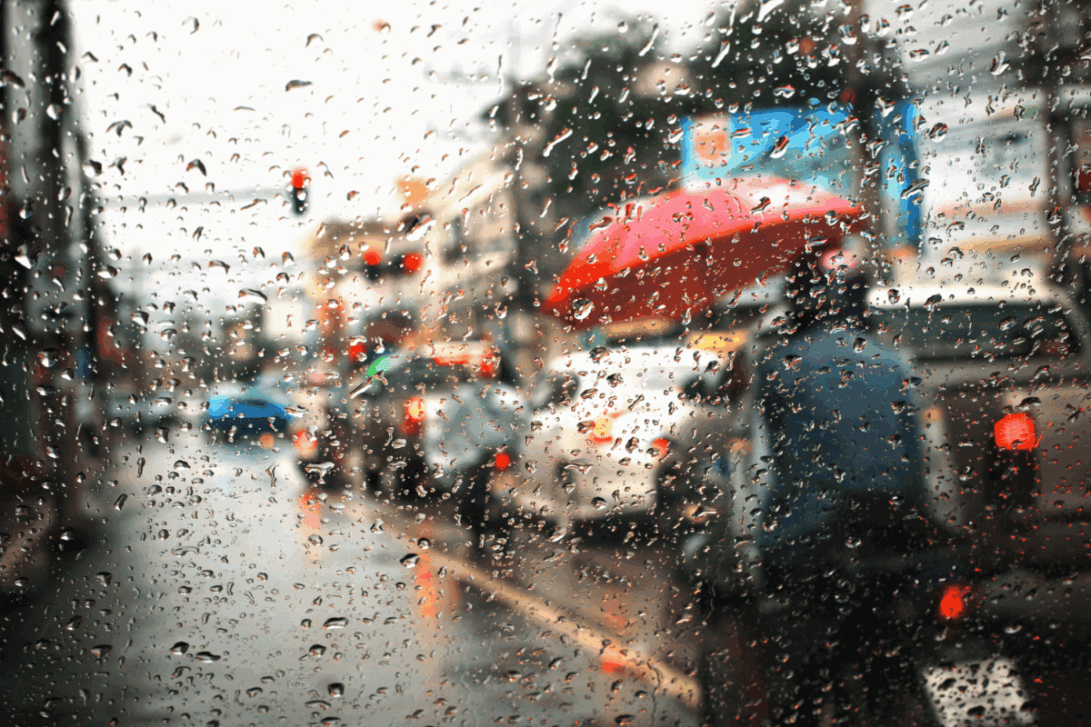
While it was raining across the interior of the country with a yellow level 2 alert over large parts of Gauteng, Mpumalanga and North West, experts say it is just the start of what is to come.
Vox weather meteorologist Michelle du Plessis said the recent storms recorded impressive 24-hour rainfall totals across the country.
Torrential downpours hit farming regions
“On Tuesday and overnight into Wednesday, scattered showers and thunderstorms brought much-needed rain to many regions. One farmer in Wesselsbron even reported nearly 100mm, showing just how intense some of the storms were,” she said.
Du Plessis said more rain is expected, with scattered rain and thundershowers likely to continue over Gauteng, eastern North West, northern Free State, Mpumalanga, southern Limpopo and far western and northern KwaZulu-Natal today.
Heavy showers are forecast in parts of Gauteng and Mpumalanga, with some areas expected to receive between 20 and 50mm of rain withy localised flooding possible.
ALSO READ: Weather alert: A wet day across SA with possible flooding in KZN
Weekend showers to persist
“On Friday, the heavy rain will move over the central interior, especially over the Free State. Elsewhere in the Free State, isolated to scattered showers will continue,” she said.
Du Plessis said on Saturday the focus moves northeast, with scattered showers expected over the northern Free State, in parts of Gauteng and along the escarpment in Mpumalanga and KZN.
On Sunday, scattered showers are expected over Limpopo, the Mpumalanga highveld and northern Gauteng, with showers also along the south coast of KZN.
“The heaviest totals are likely to be recorded in the western North West, northern Free State, parts of Gauteng and Mpumalanga.”
NOW READ: ‘No storm inside Saws’: Weather service denies mismanagement and corruption allegations