The South African Weather Service (Saws) has warned that disruptive rain threatens flooding in Limpopo and Mpumalanga while extreme heat and fire danger warnings hit parts of the Cape.
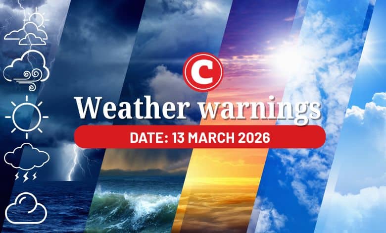
The weather service has released its latest weather forecast for 13 March 2026.
Here’s what you need to know.
Weather warnings: Friday, 13 March 2026
Impact-based warnings
The weather service has issued a yellow level 4 warning for disruptive rain leading to localised flooding of susceptible roads, settlements, and low-lying areas/bridges is expected over the lowveld of Mpumalanga and Limpopo.
Fire danger warnings
Extremely high fire danger conditions are expected over the Kamiesberg municipality of the Northern Cape, as well as the Matzikama, Cederberg, Bergrivier and Drakenstein municipalities of the Western Cape.
Advisories
The South African Weather Service says heatwave conditions with persistently high temperatures are expected over the western parts of the Namakwa district, as well as the western, southwestern and northern parts of the Western Cape, and over the Koukamma municipality of the Eastern Cape, but in places over Sarah Baartman, Chris Hani, Alfred Nzo, OR Tambo, Amathole, Nelson Mandela Bay and Buffalo City until Monday.
Saws said extremely hot and uncomfortable conditions are expected over the Namakwa district of the Northern Cape and the Western Cape.
ALSO READ: Umbrellas ready? Stormy weekend looms for Gauteng
Provincial weather forecast
Here’s what to expect in your province on Friday, 13 March, 2026:
Gauteng:
Residents of Gauteng can expect cloudy and cool weather with scattered showers and thundershowers. It will be warm in the extreme north.
The region’s expected UVB sunburn index is “very high”.
Residents should take the necessary precautions against prolonged sun exposure.
Mpumalanga:
Mpumalanga residents can expect morning fog patches along the escarpment; otherwise, the conditions will be cloudy and cool to warm with scattered to widespread showers and thundershowers.
Limpopo:
The day will start with morning fog patches in the south; otherwise, it will be cloudy and cool to warm with scattered to widespread showers and thundershowers.
North West:
Partly cloudy and cool to warm weather awaits North West residents with isolated afternoon showers and thundershowers but scattered in the extreme east.
Free State:
Residents of the Free State can expect partly cloudy and cool to warm conditions with isolated showers and thundershowers, except in the south.
Northern Cape:
The day will be partly cloudy and warm to hot with isolated showers and thundershowers in the northeast. It will be fine in the central parts.
Western Cape:
Western Cape residents can expect morning fog along the west and south coast; otherwise, the weather will be partly cloudy and hot to very hot but extremely hot over the West Coast District and Oudtshoorn. It will be fine in the extreme east.
The region’s expected UVB sunburn index is “extreme”.
Residents should take the necessary precautions against prolonged sun exposure.
Eastern Cape (western half):
The day will be fine and hot to very hot but extremely hot in places over the interior. It will be warm in places along the coast with moderate to fresh north-easterly winds.
Eastern Cape (eastern half):
The day will start with morning fog patches in places south of the escarpment; otherwise, it will be fine and warm to hot.
KwaZulu-Natal:
Residents of KwaZulu-Natal can expect morning fog over the interior; otherwise, the conditions will be partly cloudy and warm with isolated showers and rain in the north, where it will be cloudy.