The South African Weather Service (Saws) has warned of storms, hail, flooding, and extremely high fire danger conditions on Friday across Gauteng, Free State, KwaZulu-Natal, and nearby regions.
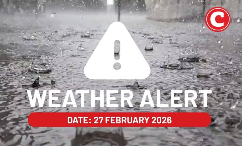
The weather service has released its latest weather forecast for 27 February 2026.
Here’s what you need to know.
Weather warnings: Friday, 27 February 2026
Impact-based warnings
The weather service has issued a yellow level 2 warning for severe thunderstorms with heavy downpours leading to localised flooding of roads, bridges and low-lying areas as well as damaging winds, excessive lightning and hail, resulting in damage to infrastructure and settlements. They are expected over Gauteng except the extreme southern parts, southern Mpumalanga except the extreme south-western parts, the central and eastern parts of the North West, the extreme south-western parts of Limpopo and the western parts of KwaZulu-Natal.
Fire danger warnings
Extremely high fire danger conditions are expected over Masilonyana Local Municipality in the Free State.
ALSO READ: Thunder now, sunshine later? Here’s Gauteng’s weekend weather
Provincial weather forecast
Here’s what to expect in your province on Friday, 27 February 2026:
Gauteng:
Residents of Gauteng can expect partly cloudy and warm weather with scattered showers and thundershowers.
The region’s expected UVB sunburn index is “high”.
Residents should take the necessary precautions against prolonged sun exposure.
Mpumalanga:
Mpumalanga residents can expect cloudy conditions in the morning; otherwise, it will be partly cloudy and warm with isolated to scattered showers and thundershowers over the Highveld and escarpment areas.
Limpopo:
The day will be cloudy in the morning; otherwise, it will be partly cloudy and warm to hot with scattered showers and thundershowers in the southwest; otherwise, it will be isolated, except for the extreme south-east.
North West:
Partly cloudy and warm to hot weather awaits North West residents with scattered showers and thundershowers, but isolated in the west except in the extreme south-western parts.
Free State:
Residents of the Free State can expect morning fog patches over the extreme eastern parts and along the Lesotho border; otherwise, it will be fine and warm to hot, becoming partly cloudy in the afternoon with isolated to scattered showers and thundershowers in the central and eastern parts.
Northern Cape:
The day will be partly cloudy in the southern parts in the morning, and in the extreme east in the afternoon; otherwise, it will be fine and warm to hot.
Western Cape:
Western Cape residents can expect partly cloudy weather in the eastern parts; otherwise, it will be fine and warm to hot, but cool in places along the south and south-west coast.
The region’s expected UVB sunburn index is “extreme”.
Residents should take the necessary precautions against prolonged sun exposure.
Eastern Cape (western half):
The day will be partly cloudy and cool to warm, becoming fine in the afternoon.
Eastern Cape (eastern half):
The day will be cloudy and cool with isolated showers and rain but scattered in the east.
KwaZulu-Natal:
Residents of KwaZulu-Natal can expect morning fog patches over the interior; otherwise, it will be cloudy and cool to warm with scattered showers and thundershowers, but isolated in the extreme north-east.